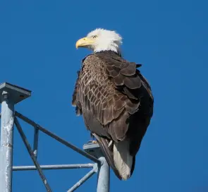
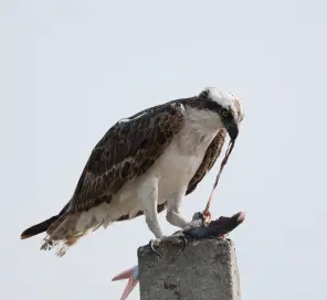
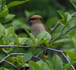
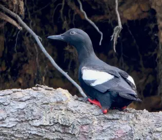
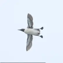
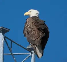
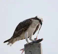
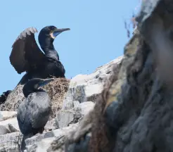
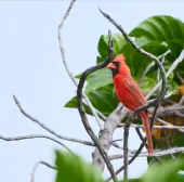
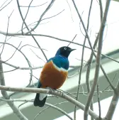
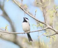
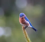
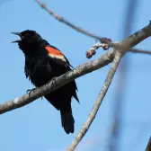
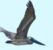
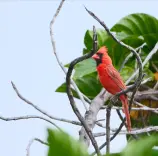
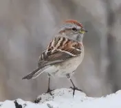
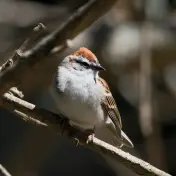
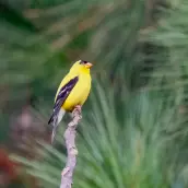
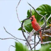
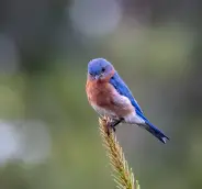
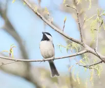
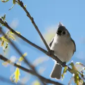
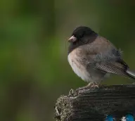
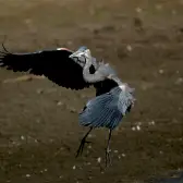
Birding checklist

Where

37 places — 19 on the road and 18 close to home. 110 birds turned up in more than one of them.
United States — travel birding map Hawaiʻi Puerto Rico

The Research Triangle — local birding map Chapel Hill Durham Raleigh Cary Carrboro Hillsborough Pittsboro RTP Jordan Lake Falls Lake I-40 I-85 15-501

the whole country

The Triangle · 18 spots

How to read this map

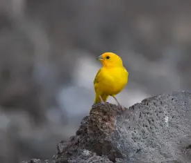
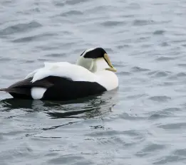
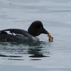
Hover a pin to meet the other birds it is standing on. Click one to open the place, or the boxed Triangle to go in. Double-click the map — or hold ⌘ and scroll, or press + — to come closer: the sheet grows, the photographs barely do, and as each place gets room it puts out more of its birds. Drag to move, 0 to come back. At this size the map is a drawing — the photographs are 10 to 27 px across, and it does not enlarge here: a pinch on a sheet this size fights the page you are scrolling. Tap a pin if you can; every place is also a line below, and the boxed Triangle still goes in.
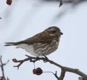
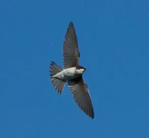
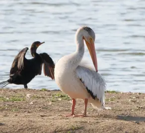
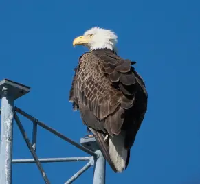
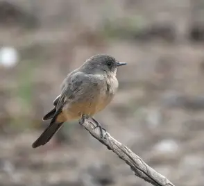
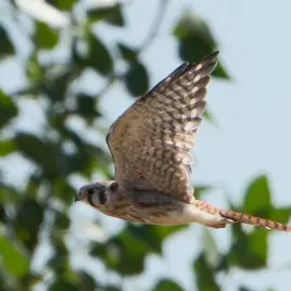
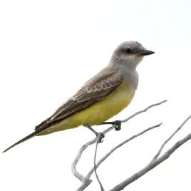
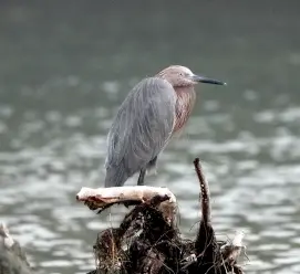
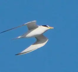
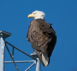
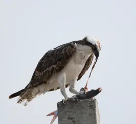
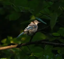
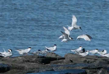
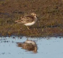
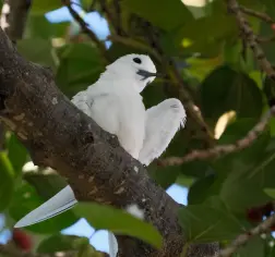
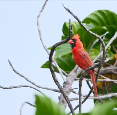
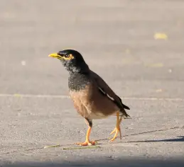
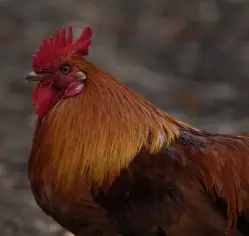
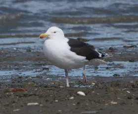
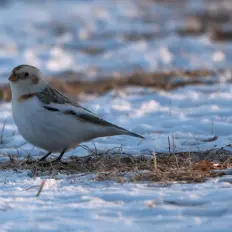
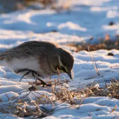
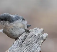
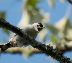
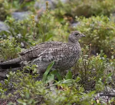
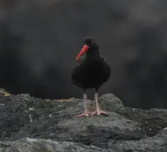
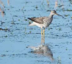
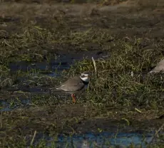
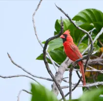
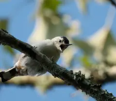
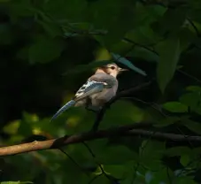
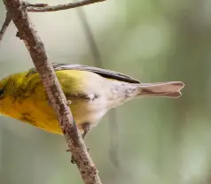
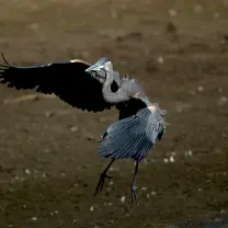
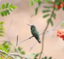
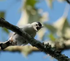
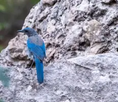
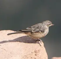
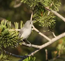
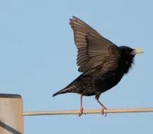
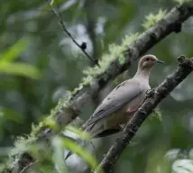
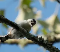
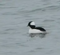
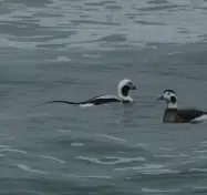
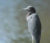
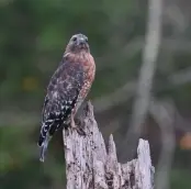
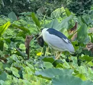
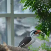
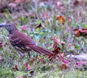
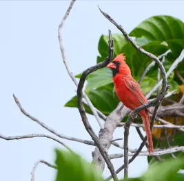
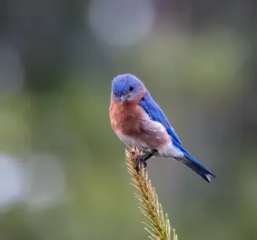
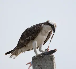
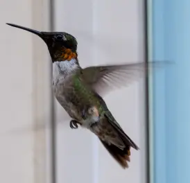
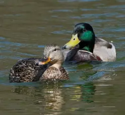
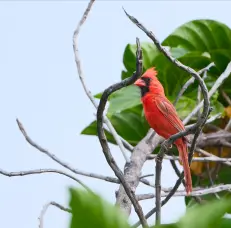
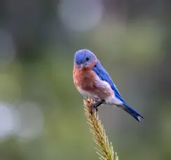
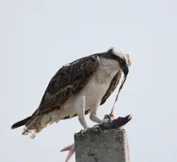
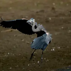
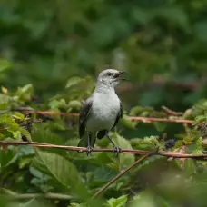
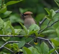
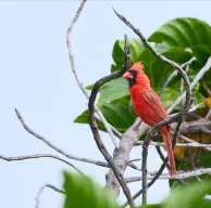
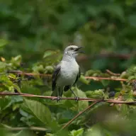
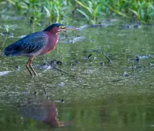
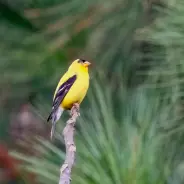
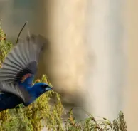
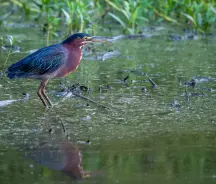
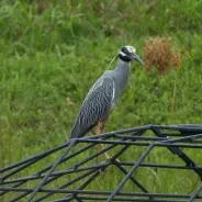
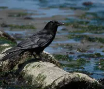
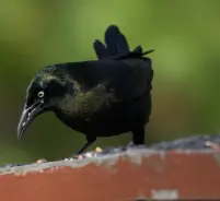
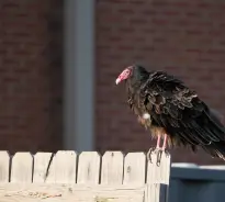
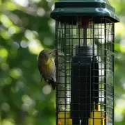
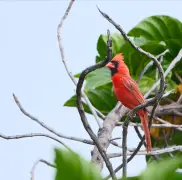
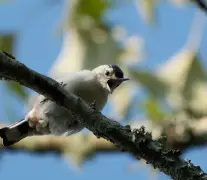
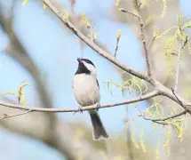
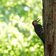
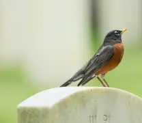
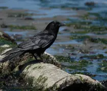
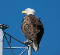
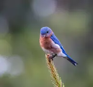
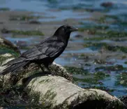
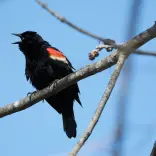
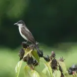
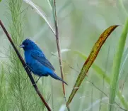
  • a bird photographed there — the bigger the disc, the more species
  • the pin stepped aside to be clickable; the ring is the real spot
  • 金玉公寓 — the balcony the whole list started on
  • marked with its own shape, and the arrow goes to the box it is drawn larger in

North is up on both sheets — that is the arrow standing in the Gulf of Mexico, and the bar beside it measures 500 miles. On the Triangle the same bar measures 5.